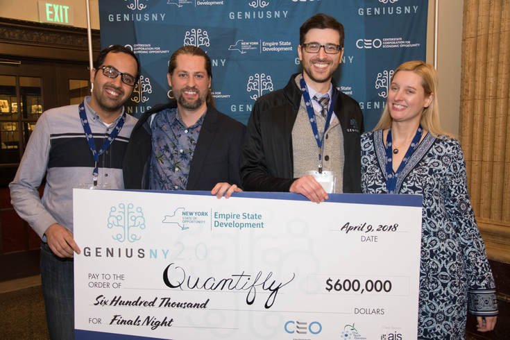
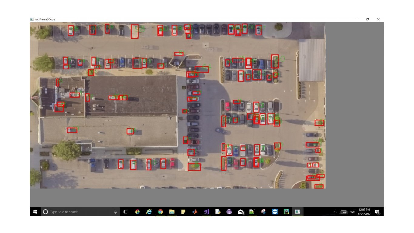
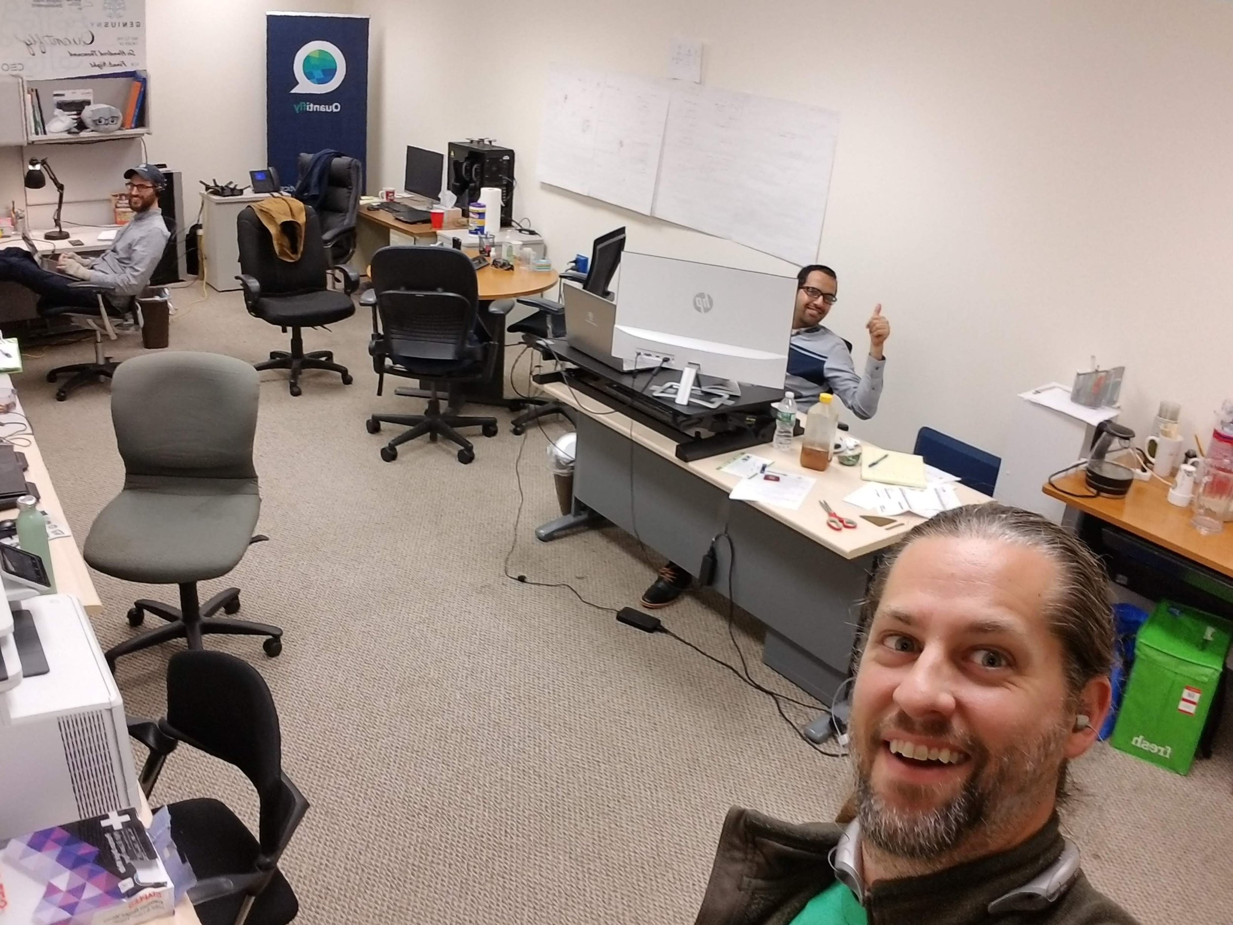
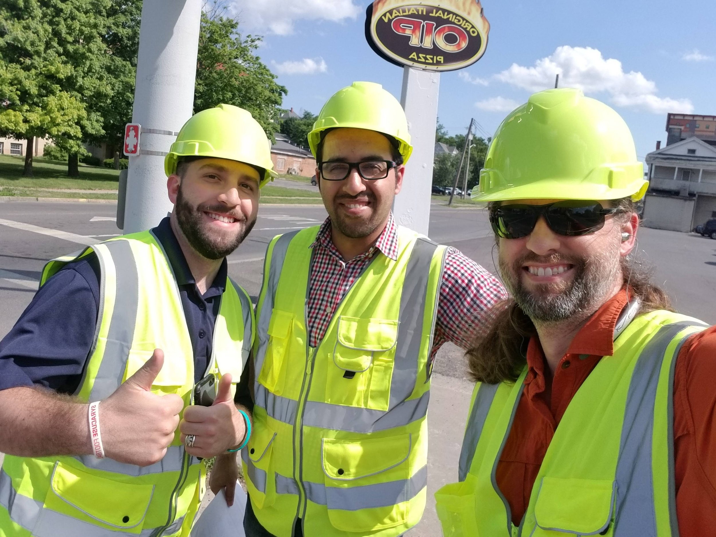
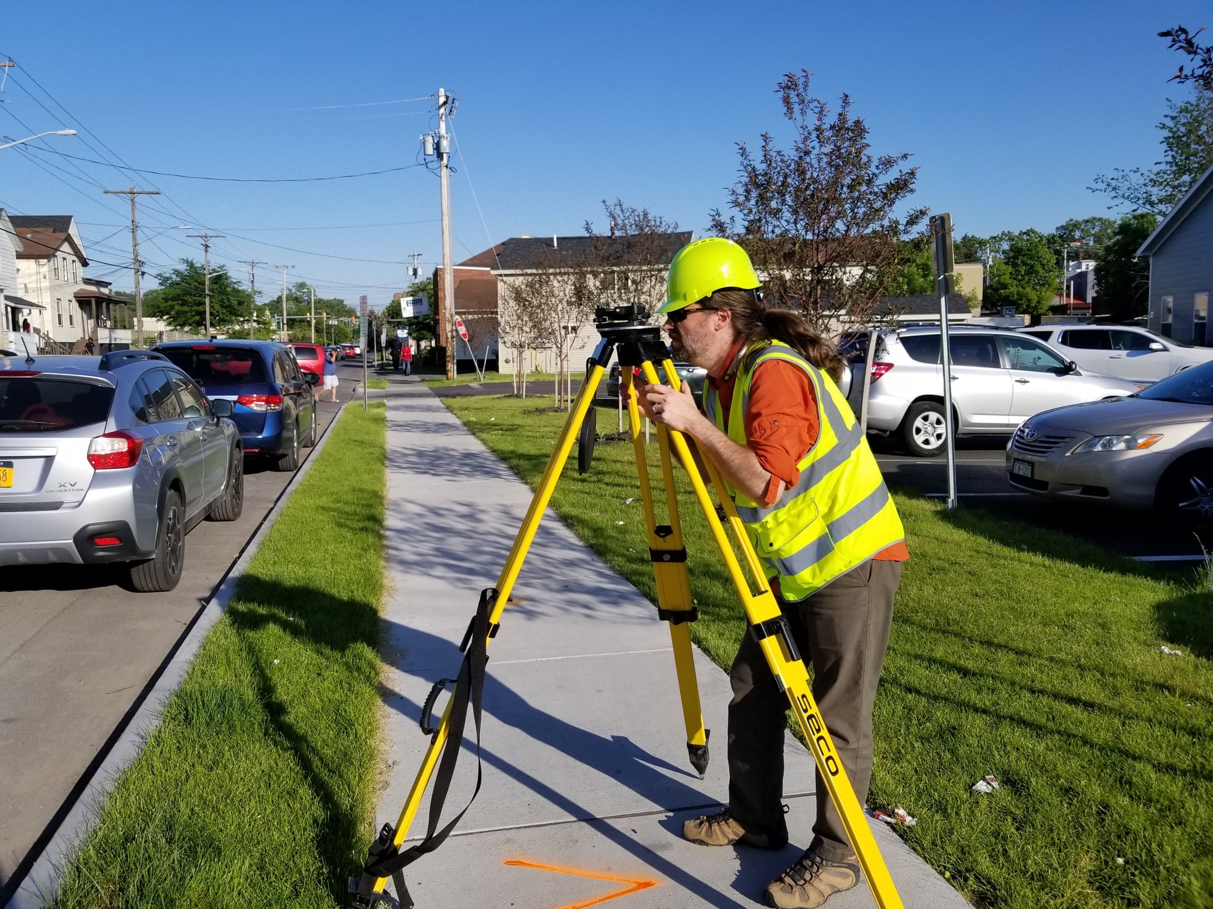
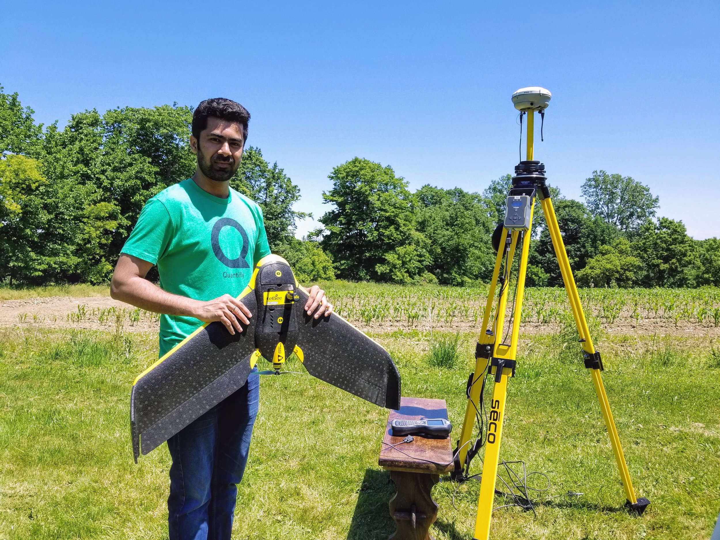
In 2017 I co-founded a startup called Quantifly and worked for several years as a manager and technical consultant. We were accepted into the Genius NY program which is the largest accelerator in the world for drone technology. We took second place at the finals and received $600,000 in funding along with several other grants and support. I helped Quantify design, build, and implement a complex and sophisticated aerial data collection and analysis pipeline. I hired a team of engineers and researchers to develop a computer vision-based algorithm for identifying cars from aerial imagery. The algorithm was also able to detect change between subsequent temporal layers. I was in on the ground floor and followed the entire process through to successful completion. I flew multi rotor and fixed wing drone systems, built and tested custom camera payloads, installed and tested extremely precise real-time geolocation and tagging computers, and created the image processing pipeline which fed into the CV algorithm. It was the most technical and challenging opportunity of my life and I’m always thankful for the experience.
When I began to experiment with drones back in 2011, I quickly realized their market potential expanded far beyond the film industry. Drones (or UAS as the FAA calls them) are machines which can move in three dimensional space, have the ability to carry sophisticated payloads, and can be automated. To a drone pilot, the world is full of potential. (I have more to say about the regulatory environment and its relationship to free enterprise within public airspace but you’ll have to buy me a beer to hear that)
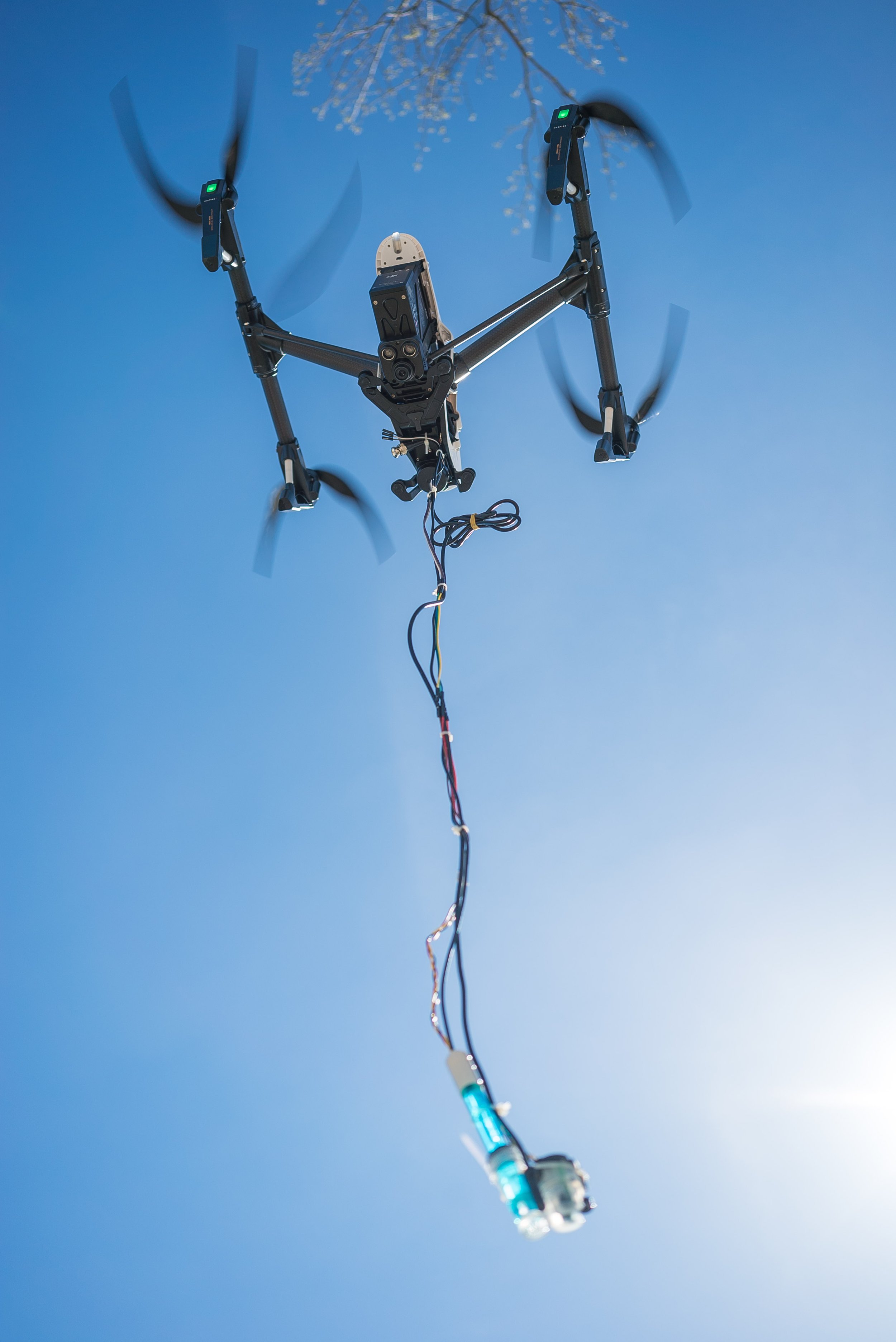
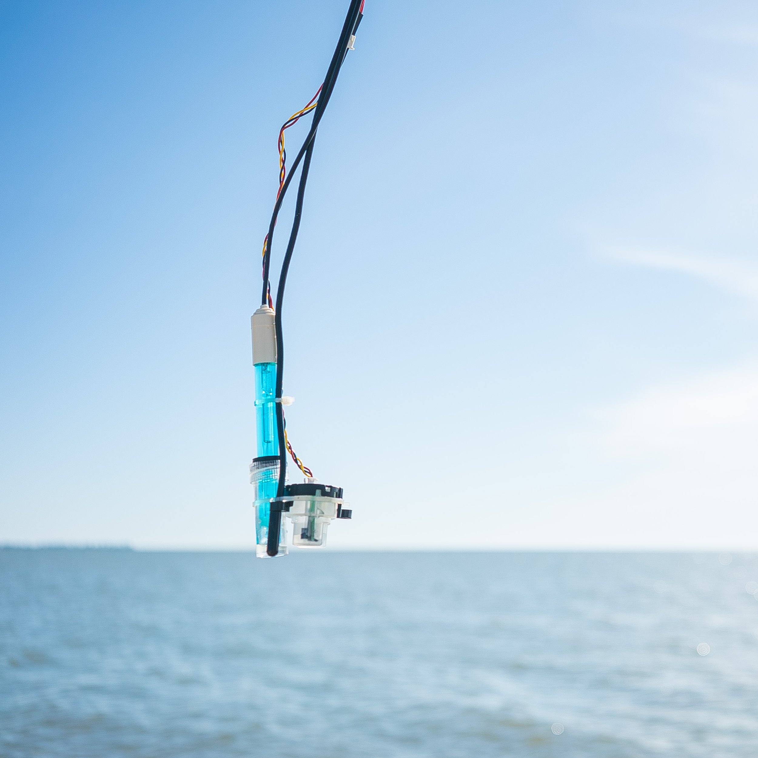
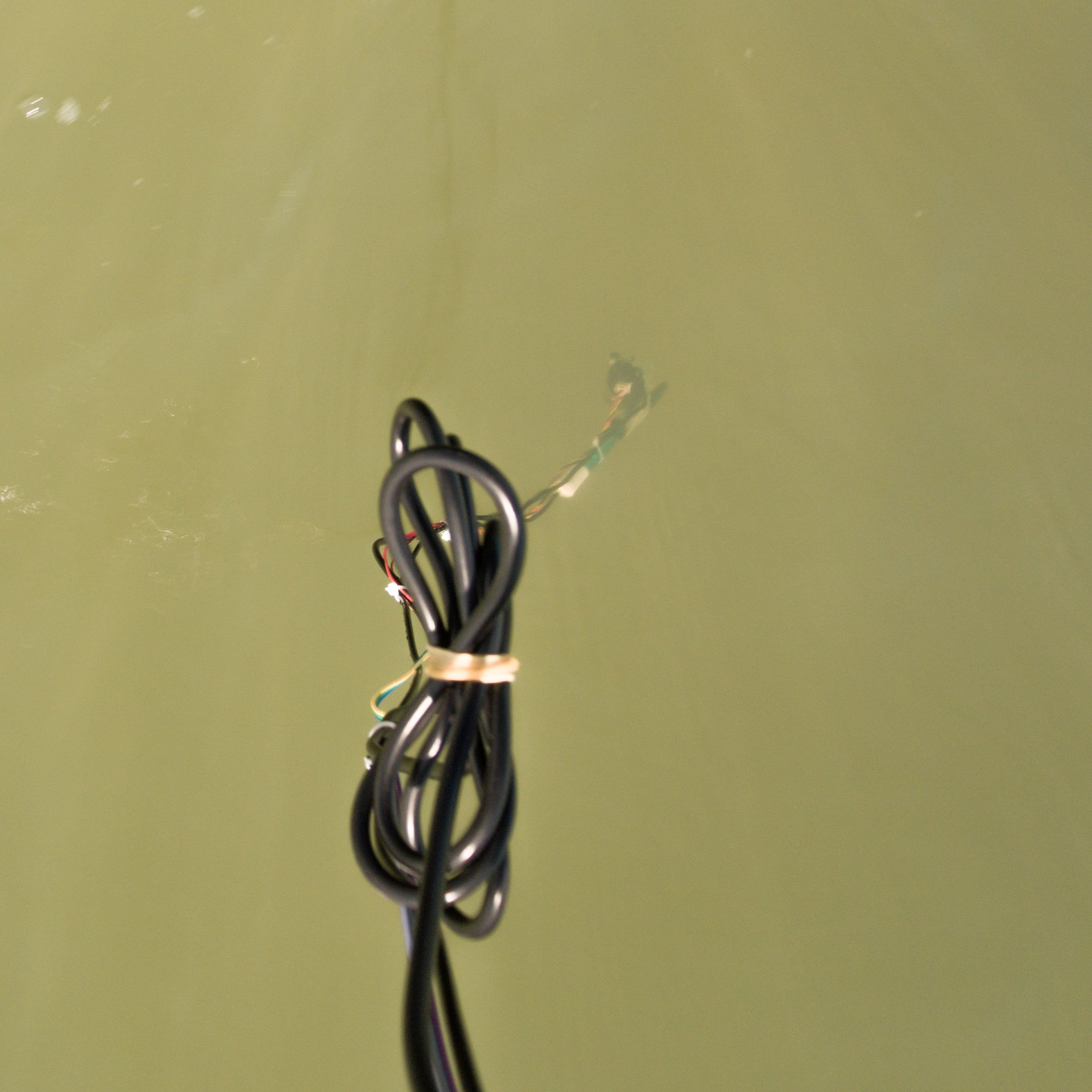
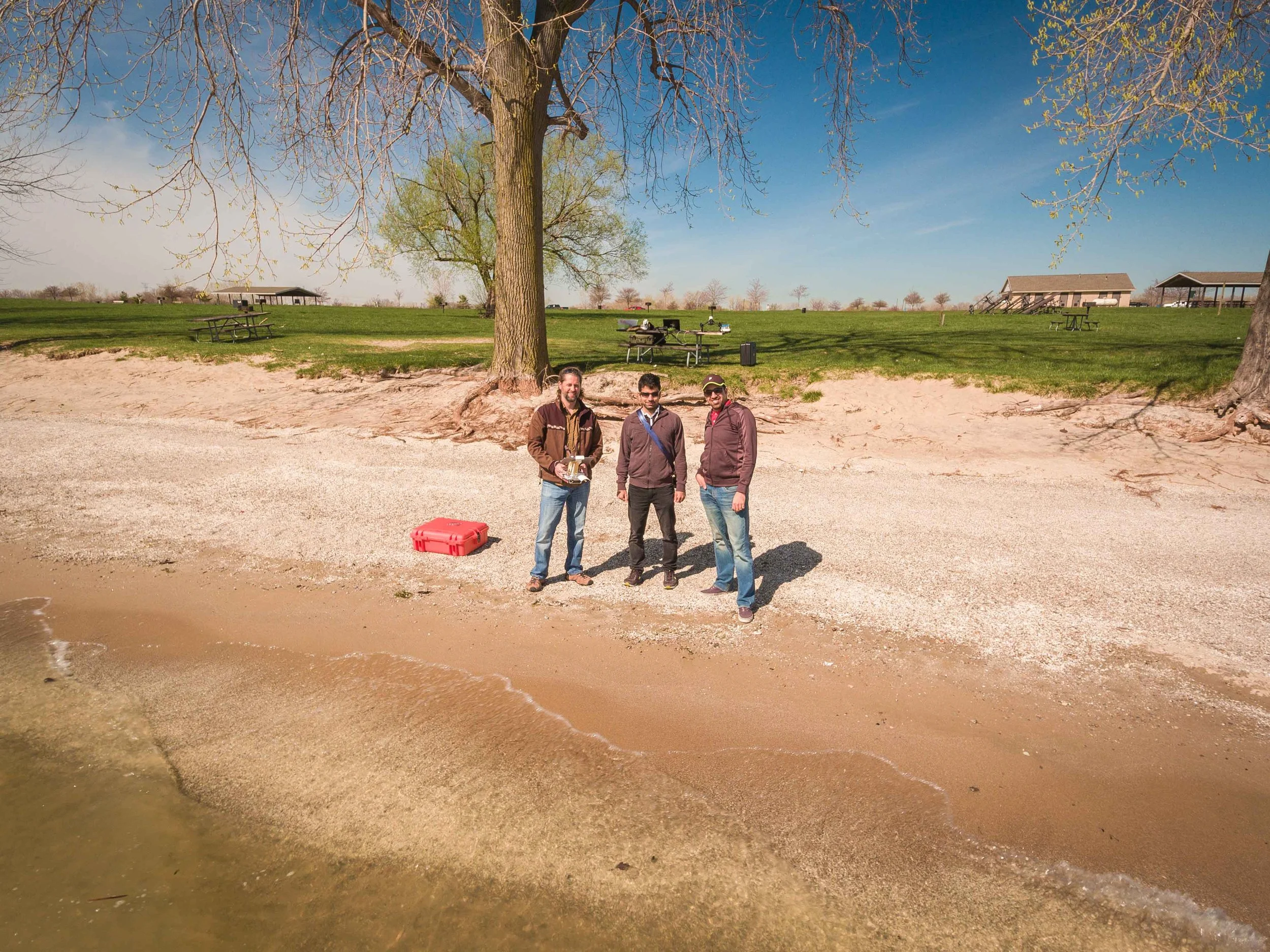
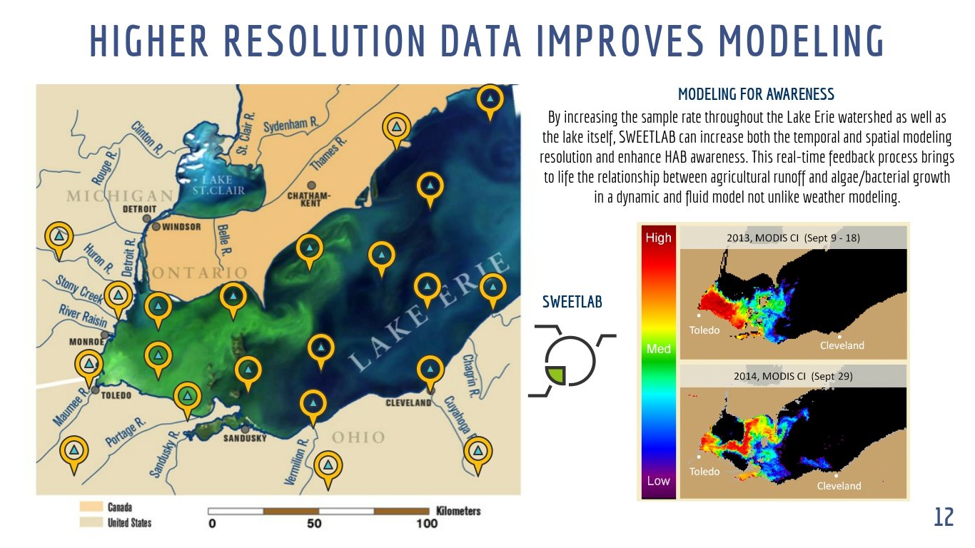
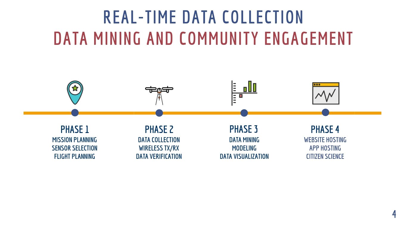
I participated as a co-principle investigator on several research projects at Wayne State University including one paper titled “Channel Fading Statistics For Real-Time Data Transmission In Emergency Call Systems And Unmanned Aerial Systems” with Dr. Ynrui Li for his doctoral dissertation. I modified one of my commercial off the shelf drones to provide a robust testing platform in sub-zero temperatures in an urban environment for cellular signal path testing. Our submission to IEEE was rejected but the dissertation was a win! I also collaborated with another team of engineers and doctoral candidates at Wayne State to build and test an aerial platform for water quality testing. The concept included flying the drone in an automated pattern and dipping an instrument (IoT) into the water before transmitting the data back to the server in the form of an SMS using Arduino. We submitted our idea at a TechTown Hack Lake Erie hosted by the City of Detroit and NASA but ultimately did not win the competition.
Unmanned Aerial Systems Projects
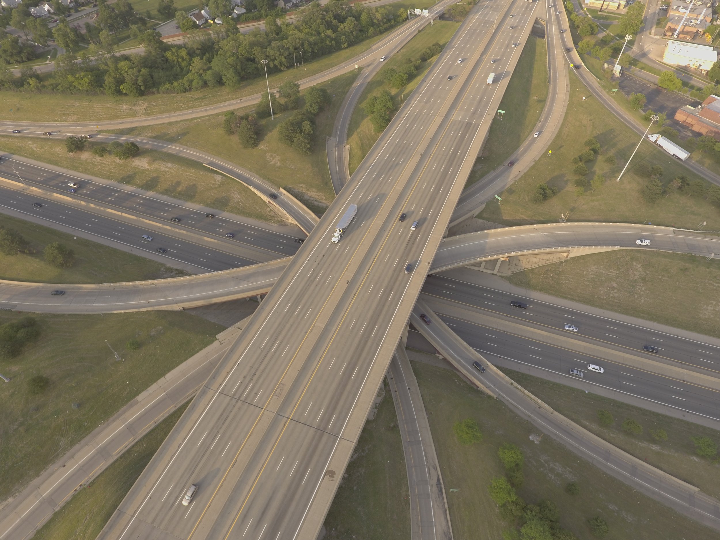
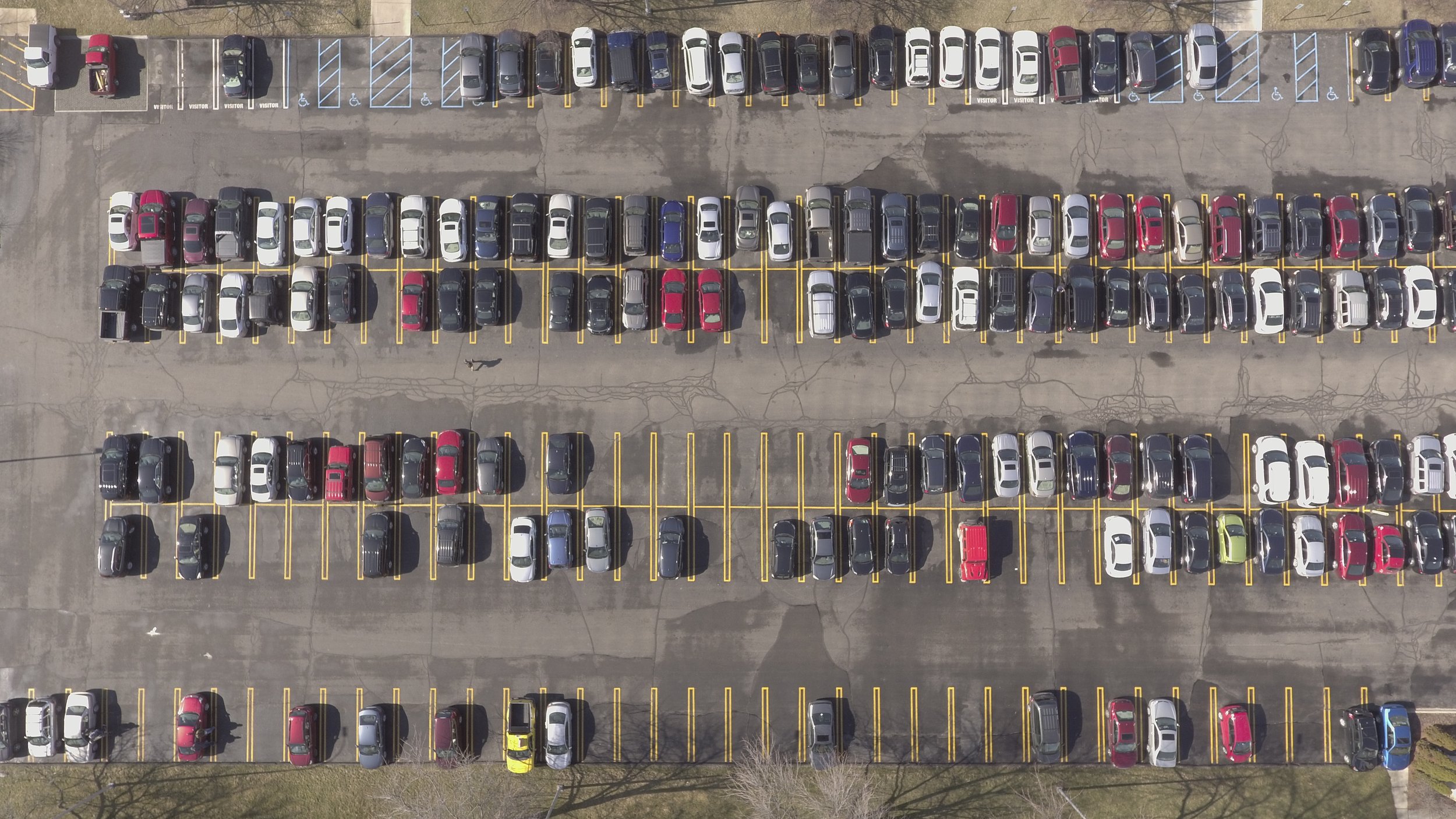
Aerial Photogrammetry for Parking/Traffic Analysis
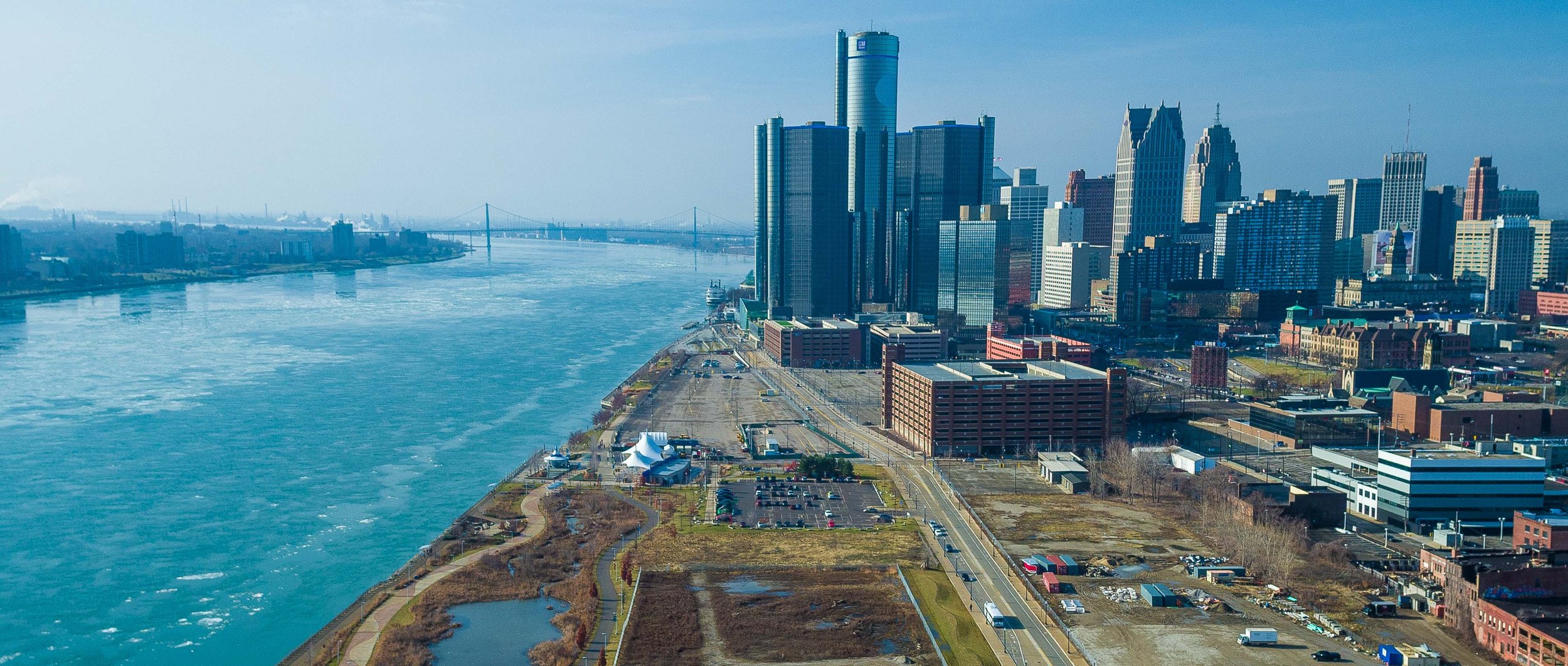
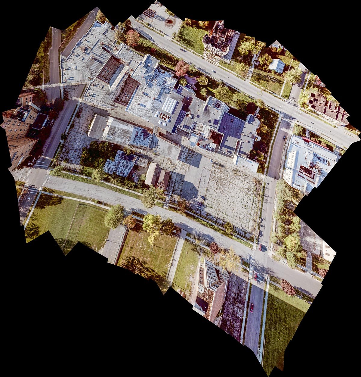
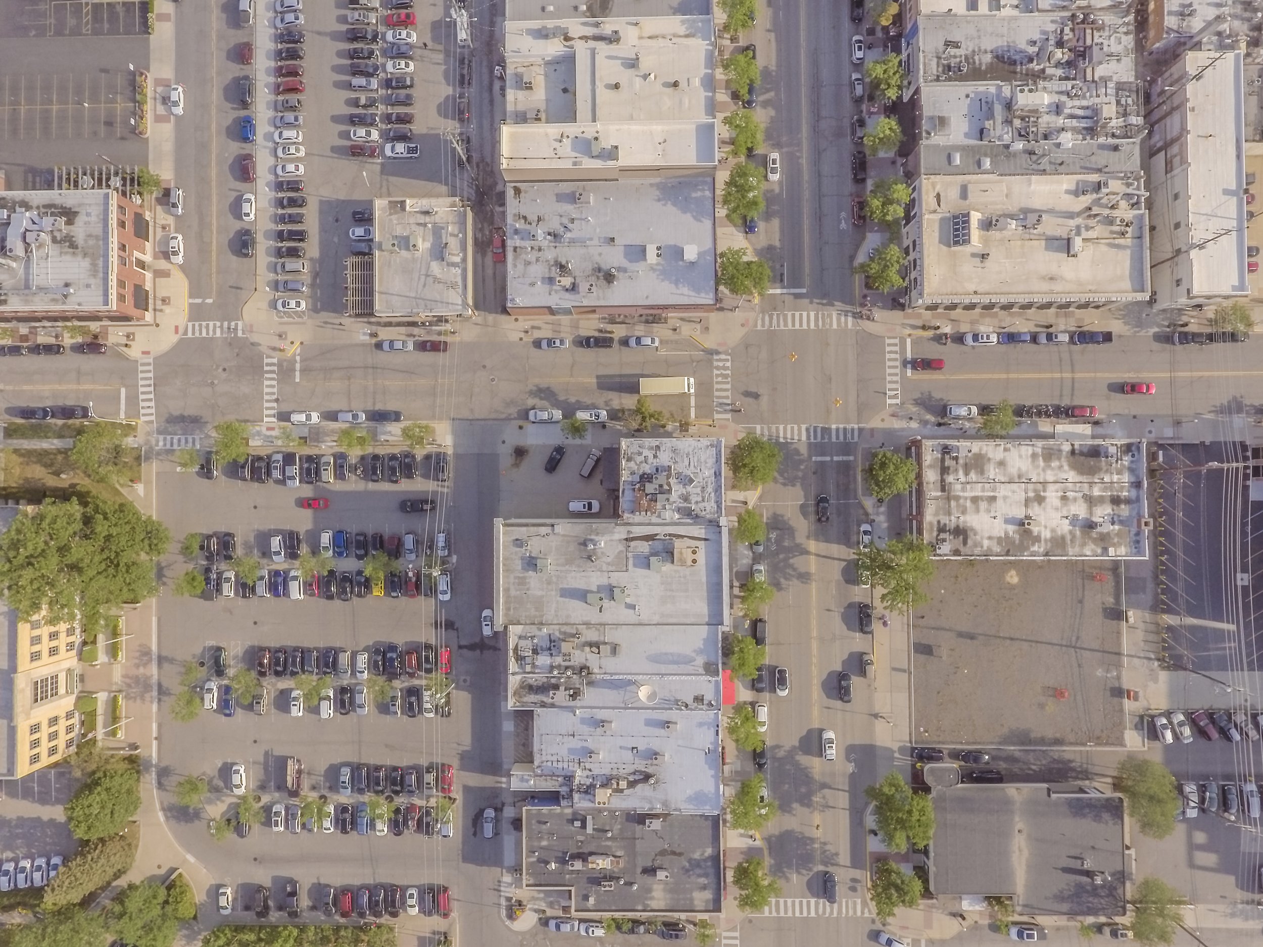
I designed, built and tested several unmanned aerial imaging systems for Quantifly LLC to provide the novel dataset necessary for parking and traffic analysis. I used these systems to map the downtown areas of several major American cities. One of our missions was to map the entirety of the new Detroit Riverwalk North of the GM headquarters. We then use a proprietary process to prepare the images for high precision photogrammetry for automated analysis.
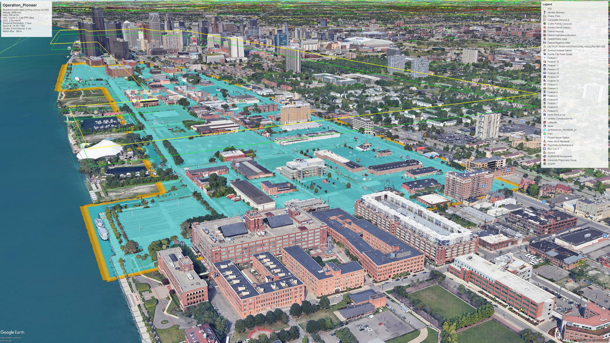


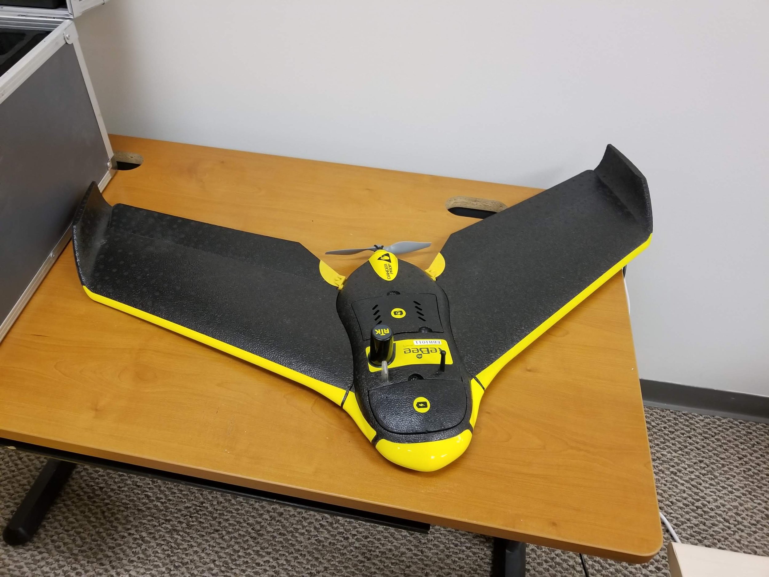
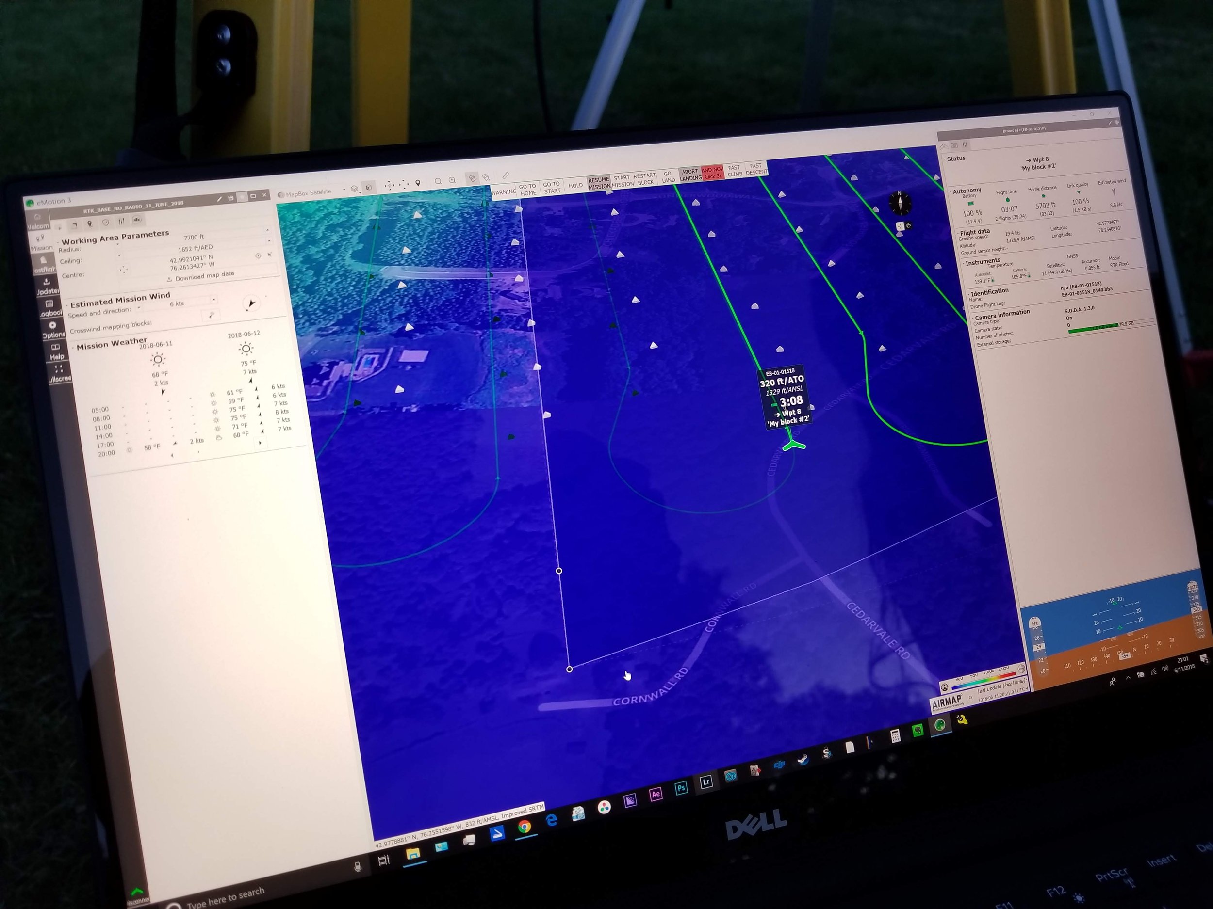
Aerial Real-Time Kinematic Geolocation Image Tagging
Quantifly wanted to be able to overlay their orthorectified 2D aerial maps of urban areas on top of existing GIS data provided by municipalities in order to use as an additional layer for reference. This meant that I had to figure out a way to embed calibrated geolocation tags into the metadata of every image taken by the drone during the mapping process. I took a course in basic surveying and went to work with an RTK
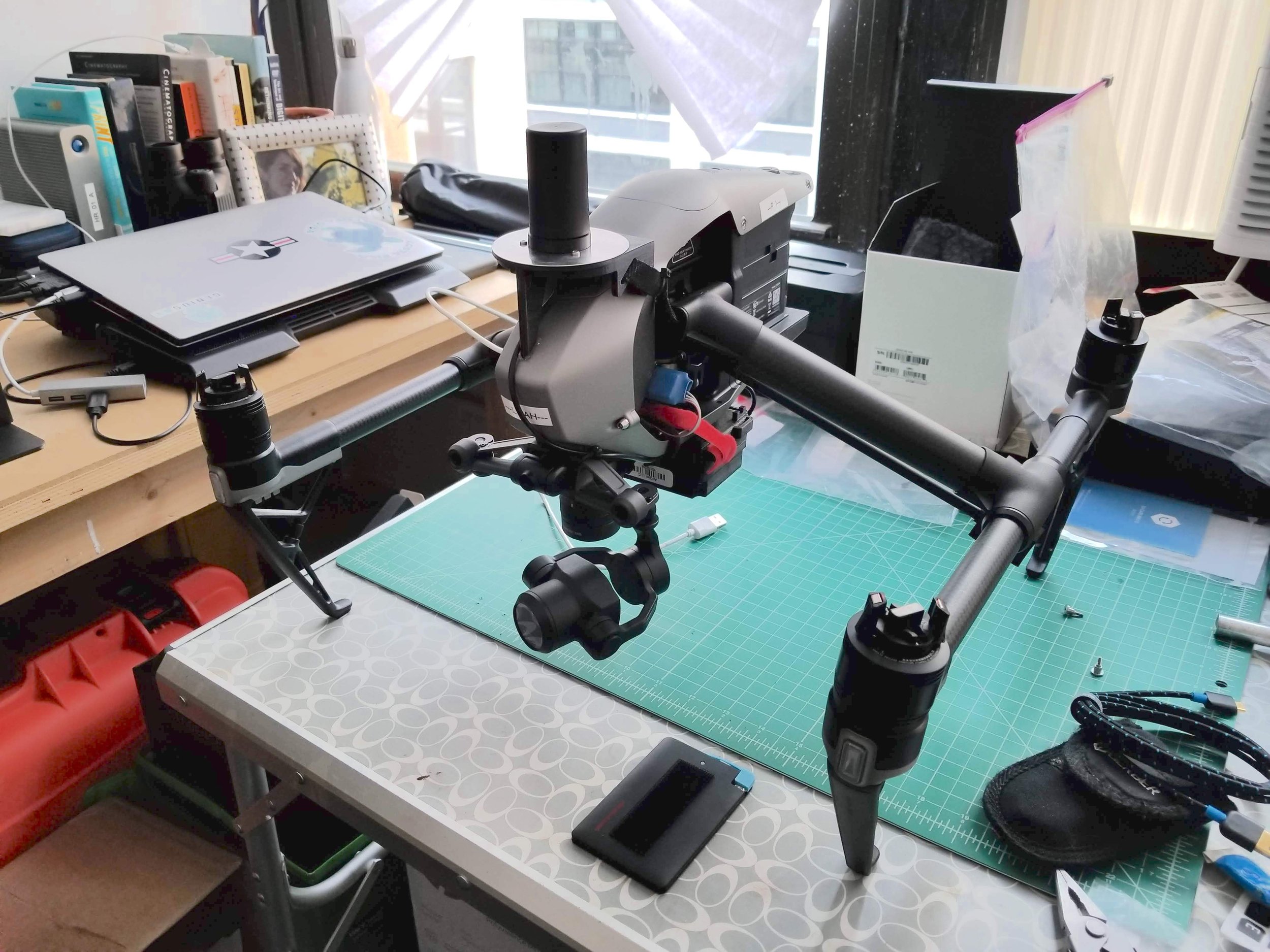
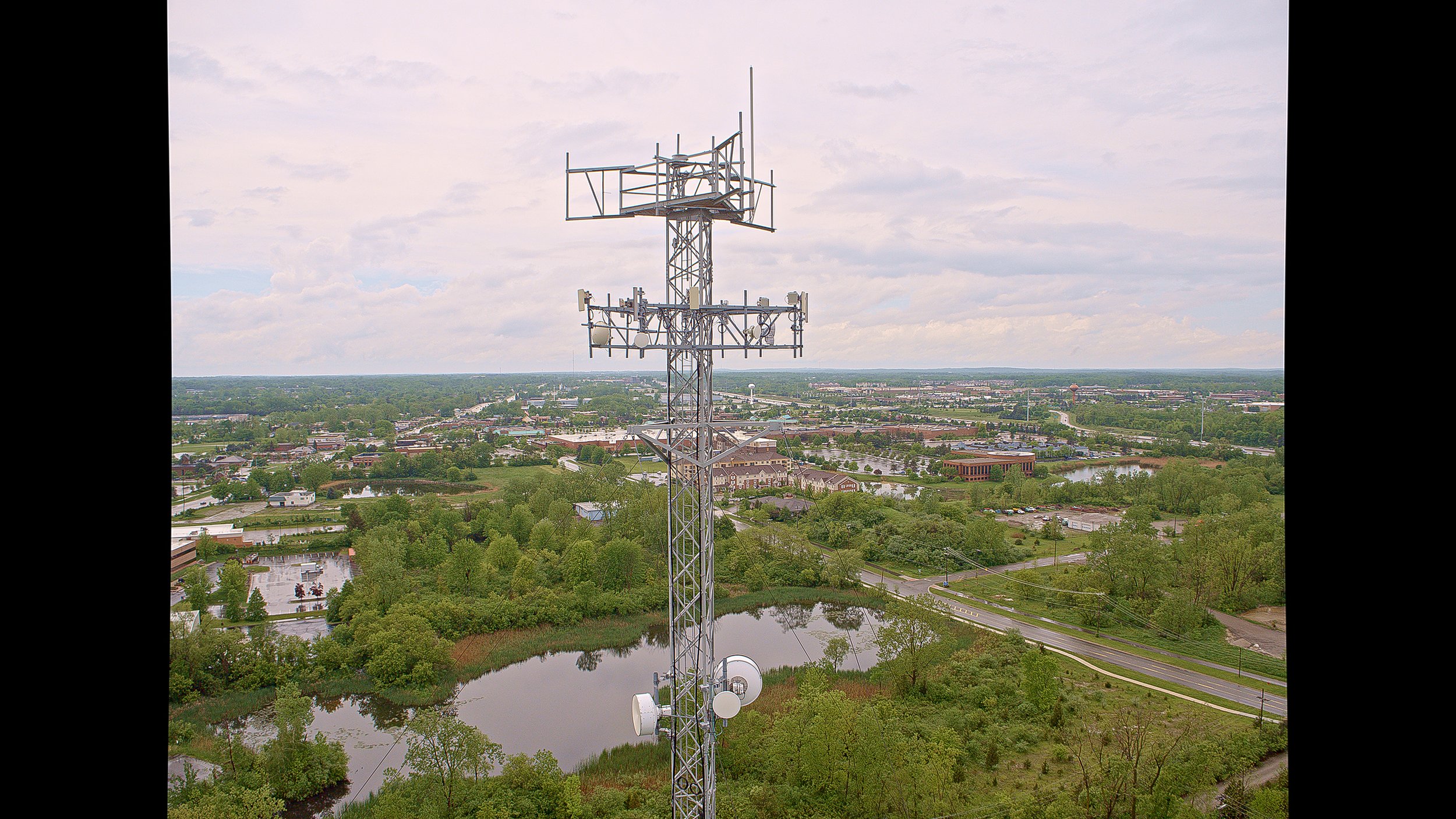
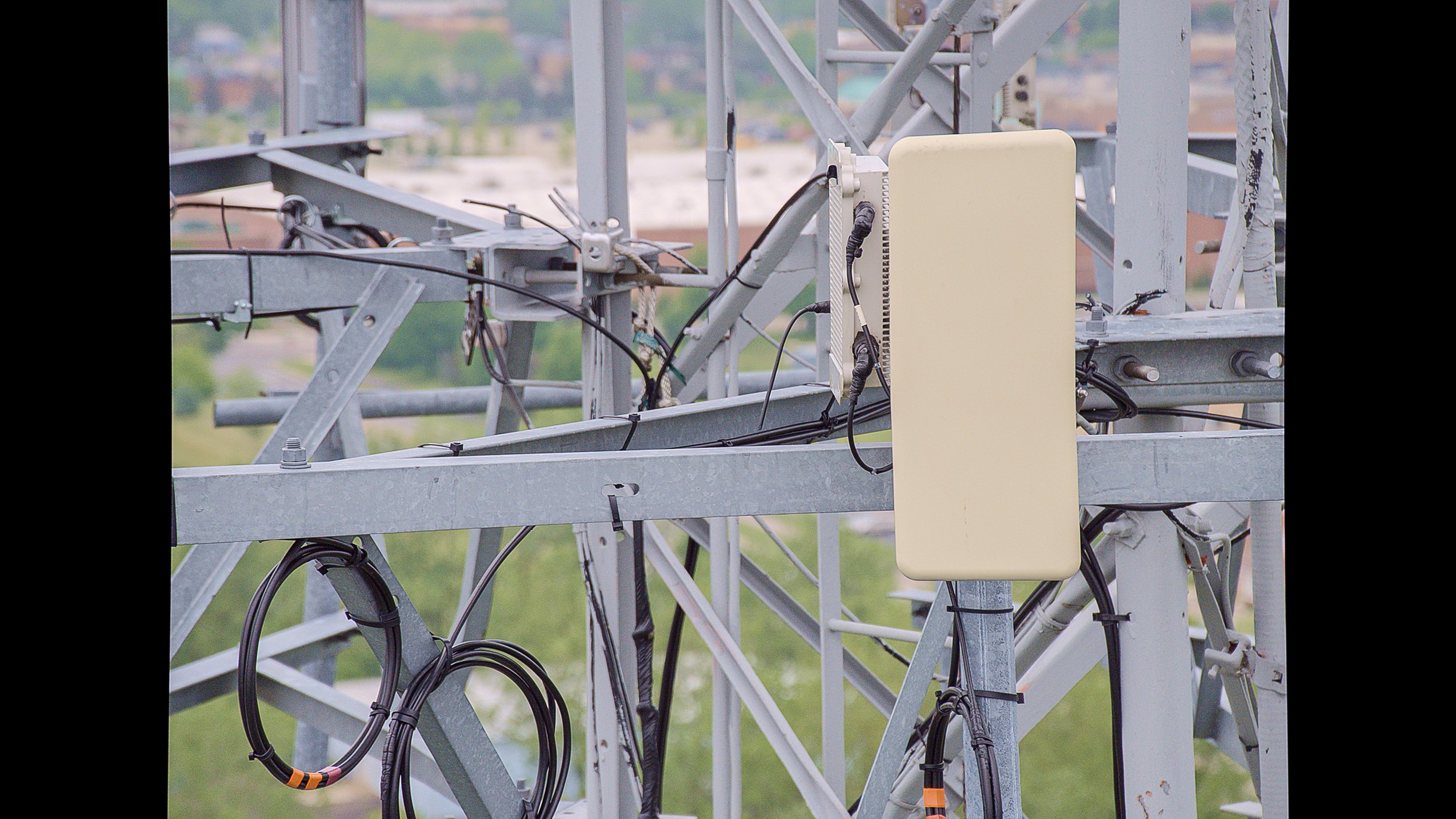
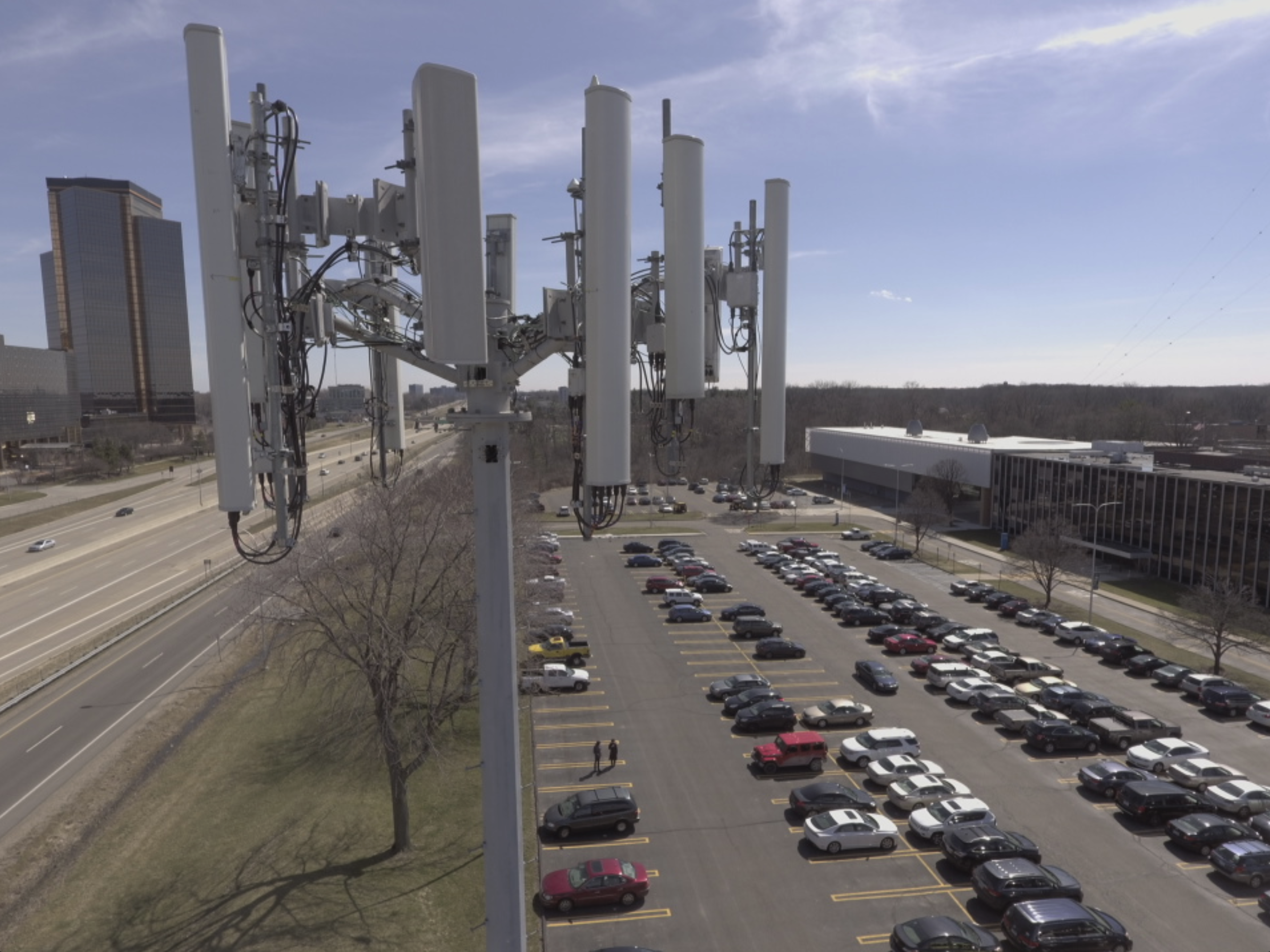
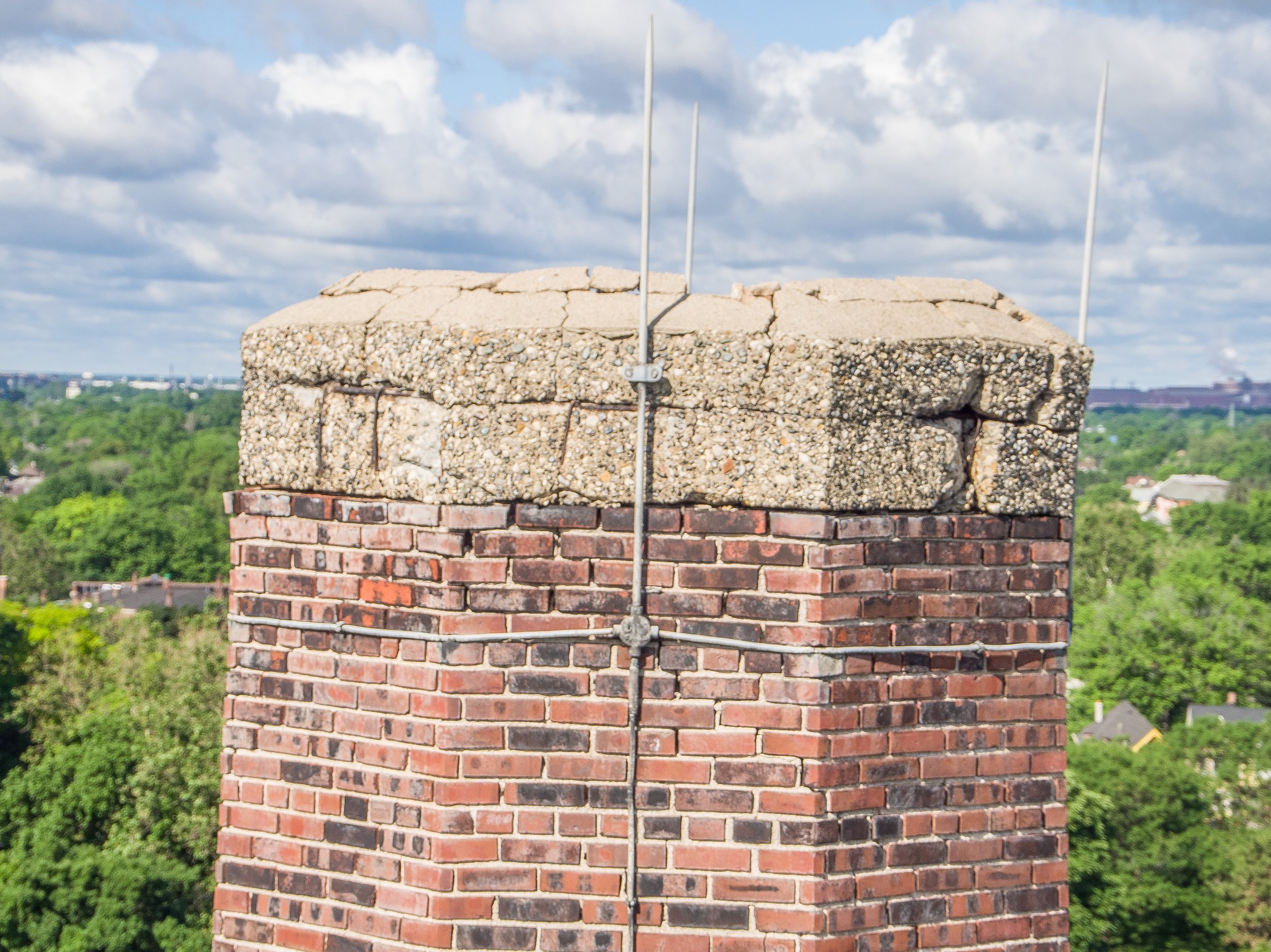
Aerial Telephoto System for Tower Inspection
I modified a Micro 4/3 gimbaled sensor system to accommodate a 300mm zoom lens for aerial inspection of RF equipment and structural integrity inspections. I also developed the protocol for remote drone operators working in different regions for quality control.
UAV Water Quality Testing With Sweetly
After several years of experimenting with drones on my own, I decided to get my commercial UAS pilot license from the FAA. I began flying drones for television series and movies in NYC and Detroit. It’s good money but can be super stressful at times. Its a lot of travel and requires many skillsets. I loved it. Then fate fell into my lap. I was in Detroit attending a Hackathon and met a data scientist that specializes in water quality. Dr. Javad Roostaei had formed a small team of researchers at Wayne State University to connect IoT devices which monitored water quality in Lake Erie to a database which the public could access. I pitched the idea of using a drone and the rest is history.
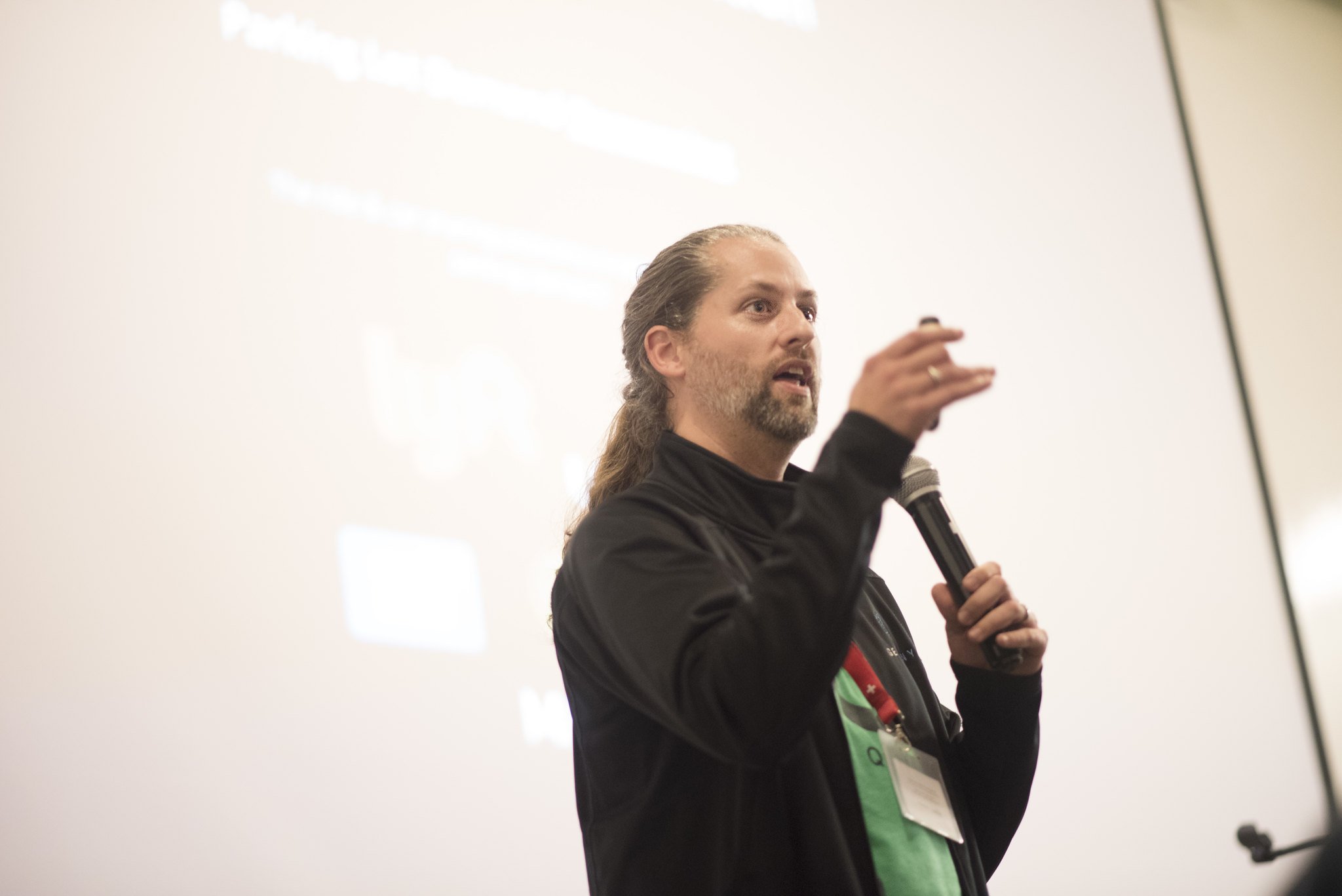
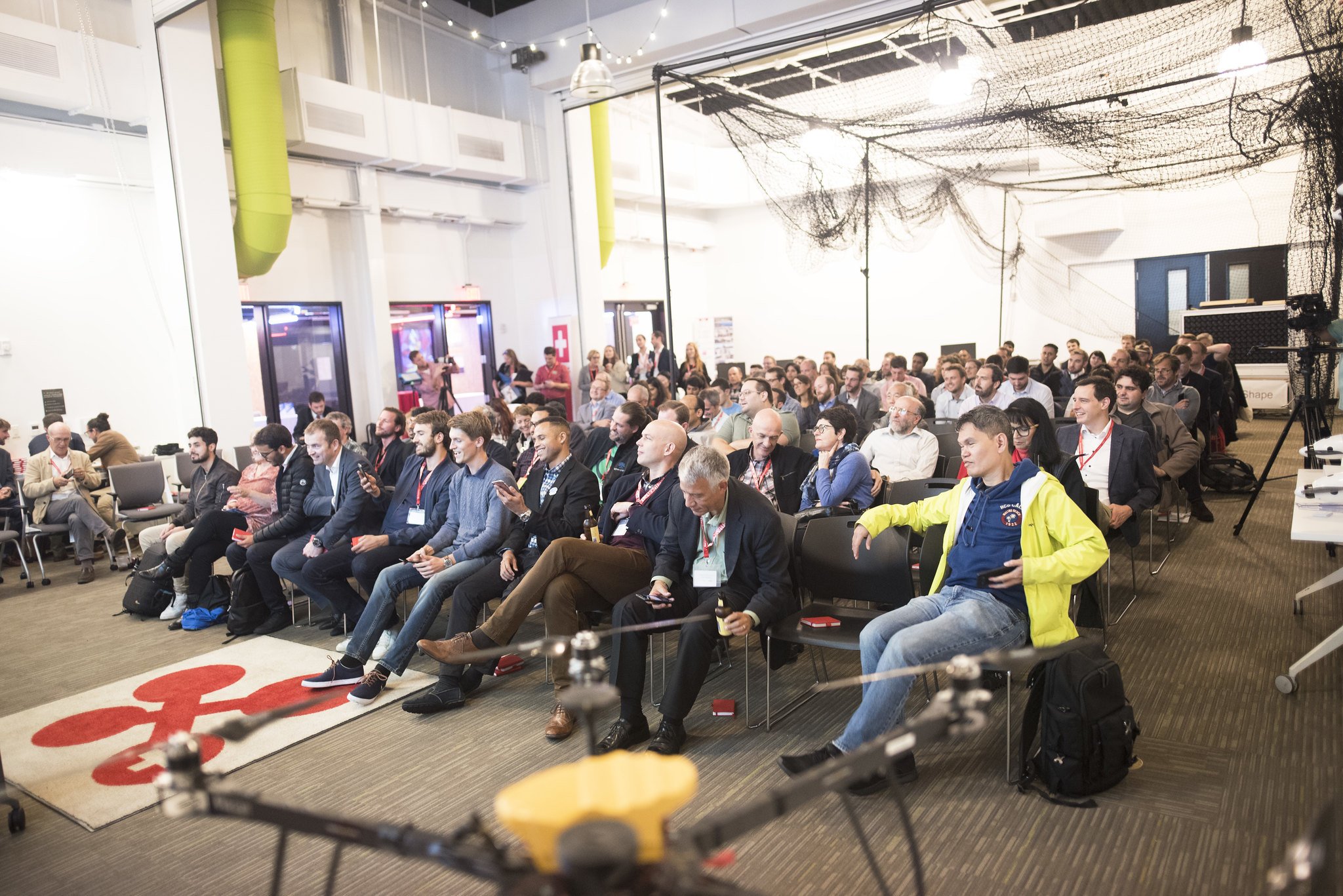
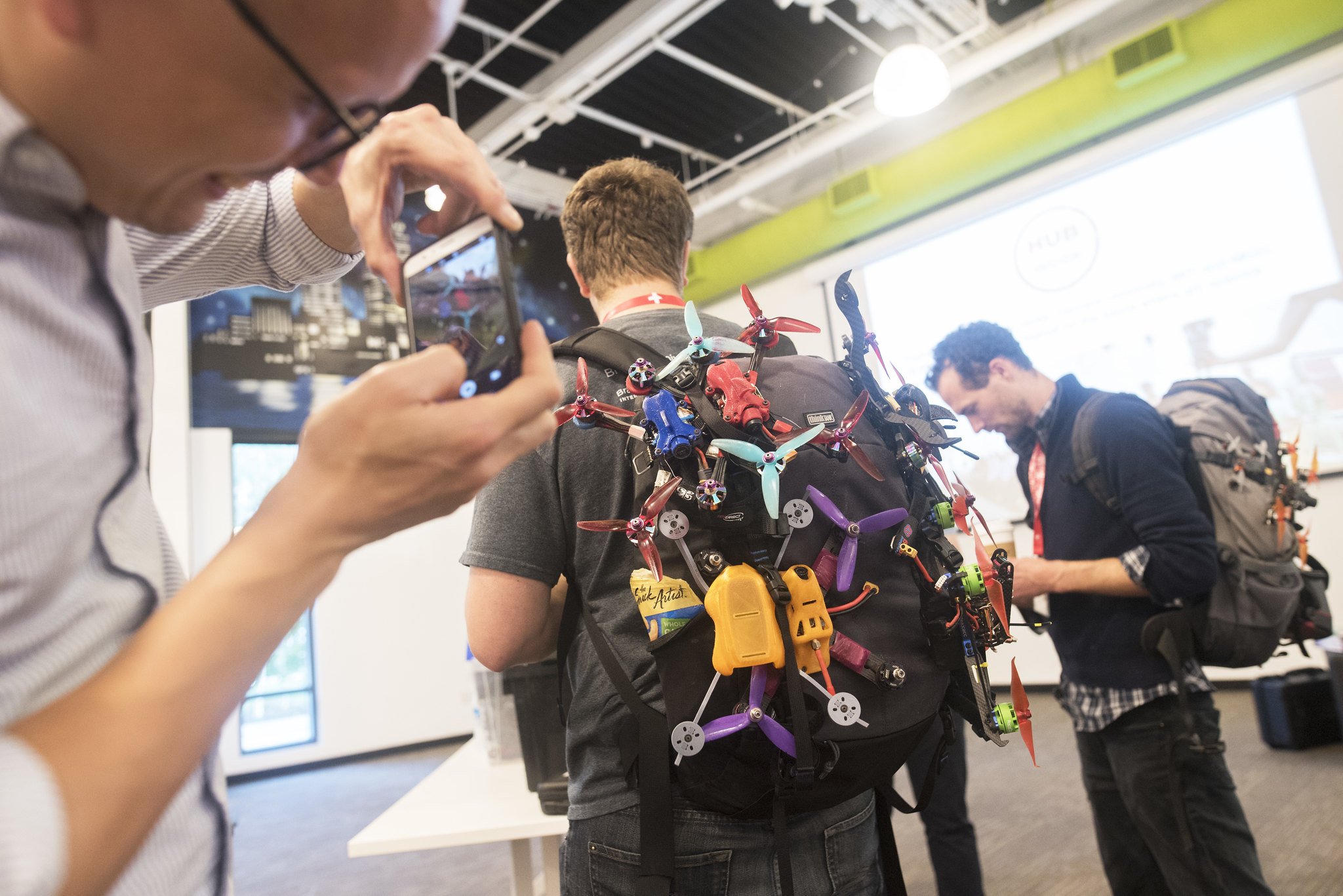
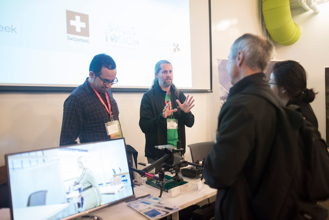
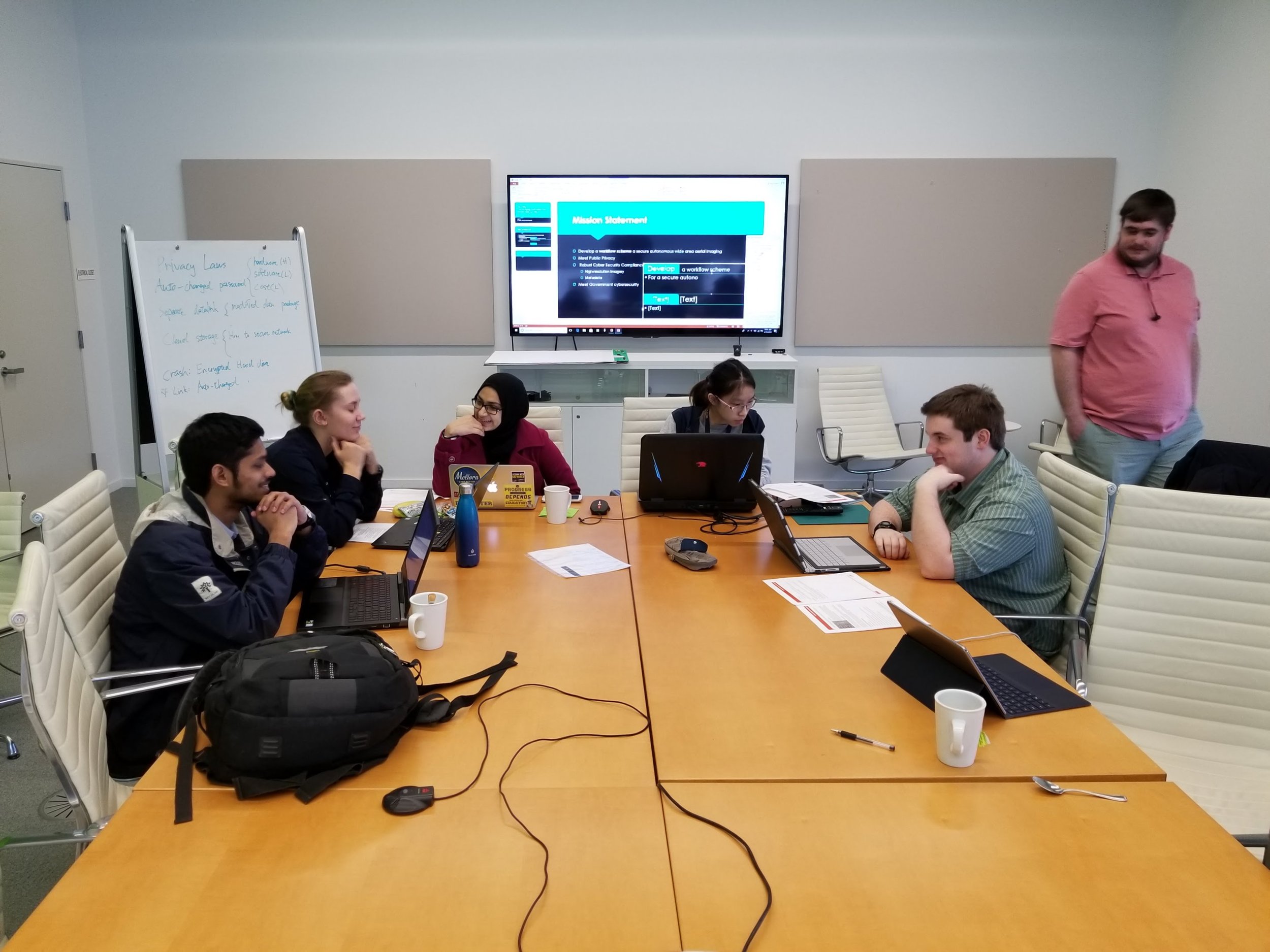
AUVSI and SwissNext Conferences
I was fortunate enough to speak at both of these prestigious Unmanned Aerial Systems and Robotics conferences on behalf of Quantifly. I was also given the opportunity to host a career and education conference with several engineering firms in upstate New York. The program paired hosts from the tech industry with students from Syracuse University and Rochester Institute of Technology in order to facilitate discussion about privacy and security in a future with aerial robots and urban data collection.